
Permit guide
Know your 100 foot buffer before you build
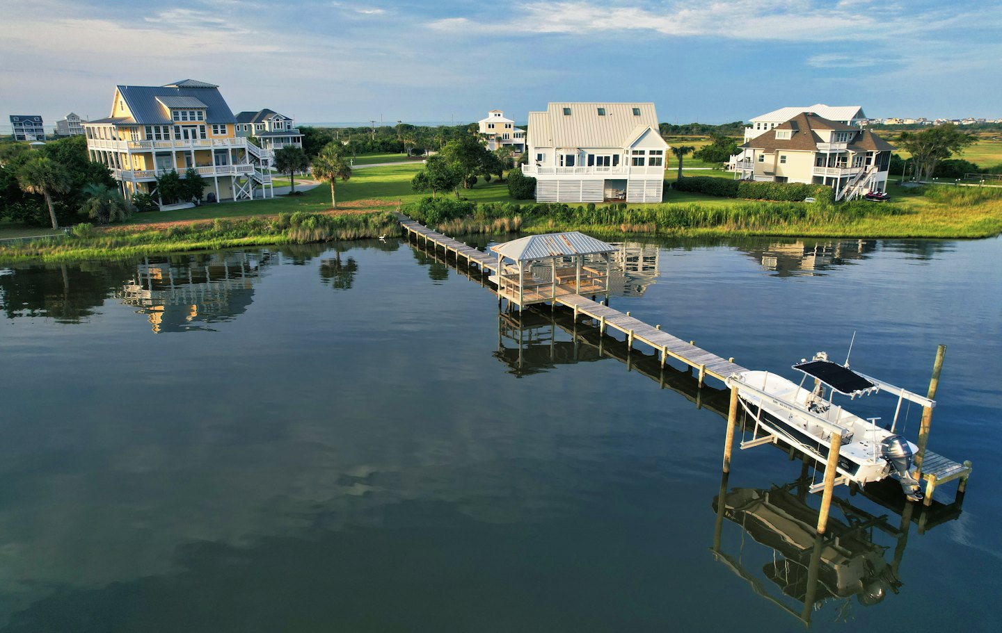
If your home sits on tidal water anywhere in Hampton Roads, the Middle Peninsula or the Eastern Shore, a state law called the Chesapeake Bay Preservation Act (the Bay Act) almost certainly covers the land closest to your shoreline. It doesn’t stop you from building a dock or fixing a bulkhead, but it decides where you can dig, what you can clear, and what extra review your project needs.
General information, not legal advice. Updated October 2026.
What the Bay Act is
The Bay Act is a Virginia law meant to keep soil, fertilizer and runoff out of the Chesapeake Bay and the rivers that feed it. It applies in the coastal part of the state the law calls Tidewater Virginia, which includes every city and county in our directory: Virginia Beach, Norfolk, Chesapeake, Portsmouth, Suffolk, Isle of Wight (Smithfield), Hampton, Newport News, Poquoson, York County, James City County and Williamsburg, Gloucester, Mathews, Middlesex, and Accomack and Northampton on the Eastern Shore.
The state sets the rules, through the Virginia Department of Environmental Quality, and each city or county enforces them through its own Bay Act ordinance and map.
The 100 foot buffer
The part that matters most to waterfront owners is the Resource Protection Area, or RPA. It’s made up of the tidal shore, tidal wetlands and certain connected wetlands, plus a vegetated buffer at least 100 feet wide on the land side. On most waterfront lots, that buffer starts at the water’s edge (or the landward edge of the marsh) and runs 100 feet up the yard.
Inside the buffer, the state’s rules say existing trees and plants should stay (a lawn that was already there before your city’s Bay Act program started can generally stay a lawn), new building is limited, and any land disturbance needs local approval and usually a Water Quality Impact Assessment. Some cities also draw a wider Resource Management Area beyond the buffer with lighter rules.
What it means for docks, piers and bulkheads
- Docks, piers and boat lifts are allowed. The rules treat them as water dependent facilities, which can be built in the RPA with local approval. The parts that don’t need to be by the water, like a storage shed, have to go outside it.
- Keep the path to the water small. Access to a pier is supposed to use the minimum disturbance necessary, usually a single path built so it doesn’t erode. The state’s buffer guidance suggests a winding footpath about 2 feet wide, surfaced with mulch rather than pavement; paving, removing plants or crossing a slope usually needs a permit.
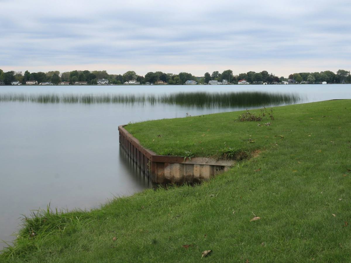
- Shoreline work is allowed too. Bulkheads, riprap and living shorelines count as shoreline erosion control, and the rules allow clearing trees and brush where the project needs it. Mature trees should come out only when they have to. Expect the land side of the project to need a Water Quality Impact Assessment.
- Views are possible, with permission. Trees in the buffer can be pruned, and sometimes removed, for a view of the water, but you need the city’s approval first. Pruning comes before removal, clear cutting isn’t allowed, and removed trees are replaced with native trees or shrubs; some cities ask for a guarantee that the new plants survive about two years.
- Patios, sheds, additions and pools are the hard part. New hard surfaces and buildings inside the buffer are tightly limited. Plan them for the upland part of the lot, and ask before you assume an existing patio can be expanded.
This review is separate from the Joint Permit Application that covers work in the water and wetlands. A typical bulkhead or pier project goes through both: the JPA for the water side, and the city’s Bay Act review for the land side.
Check your property
Every locality keeps a Bay Act map showing roughly where its RPA lies. Maps are a planning tool, though. The real line is measured on your lot from the water’s edge or the edge of the marsh, usually by your contractor, engineer or surveyor as part of the permit.
- Virginia Beach: look up your lot on the city’s online map portal, which shows the locally adopted Bay Act map. The city asks owners to contact Planning Administration early, before applying for a building permit, to find out what Bay Act review a project needs. Projects in the RPA go through site plan review with an on site RPA delineation and a Water Quality Impact Assessment, and tree removal in the buffer has its own request form. Variances go to the Chesapeake Bay Preservation Area Board, which meets the fourth Monday of each month; complete applications filed before the first of a month are heard the next month, and the variance fee is $450. The city also links to the state’s buffer guidance manual, the source of the path and view details above. Virginia Beach has been updating its local rules to match the state’s newer regulations, so check the current requirements before you plan.
- Everywhere else: call or search your city or county planning department for “Chesapeake Bay Preservation Area” or “RPA map.” Your contractor should also know the local process well.
Questions to ask your contractor
- Is my project inside the RPA buffer, and how far does it reach on my lot?
- Will this need a Water Quality Impact Assessment, and who prepares it?
- How will you get equipment to the water with the least disturbance?
- Will any trees have to come out, and what replanting will the city require?
- Does your price include the Bay Act review and the Joint Permit Application?
Free tool
Getting estimates?
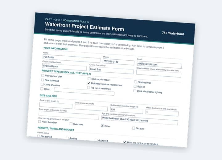
Three estimates rarely quote the same job. Our free printable form gets every contractor to answer the same questions, including license, insurance, permits, price and warranty, so you can compare them side by side.
Find a contractor
By type of work: Docks and piers · Bulkheads and seawalls
Related guides: Waterfront permits: where to start · Dock permits · Living shorelines
Sources: Code of Virginia, Chesapeake Bay Preservation Act; Virginia Administrative Code 9VAC25-830 (Chesapeake Bay Preservation Area Designation and Management Regulations); Virginia DEQ guidance on delineating the 100 foot RPA buffer; Riparian Buffers Modification and Mitigation Guidance Manual (Virginia DCR, 2003, reprinted 2006, linked by the City of Virginia Beach); City of Virginia Beach Chesapeake Bay Preservation Area Board.